
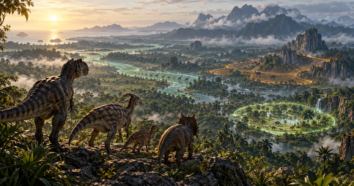
Migration zones, patrol zones and sanctuaries are three different survival systems on The Isle: EVRIMA Gateway. They may all appear as destinations, but they serve different stages and styles of play. Understanding the difference helps you find food, choose a route and avoid crossing the island for the wrong objective.
Migration zones encourage longer journeys toward concentrated resources. Patrol zones create smaller, more focused objectives. Sanctuaries are sheltered areas designed around juvenile dinosaurs. Your in-game compass shows the objective relevant to your dinosaur; a Gateway map helps you understand the surrounding terrain, water, roads and possible zone areas.
Migration vs patrol vs sanctuary zones
The easiest way to understand these systems is to treat them as three different scales of destination:
- Migration zone: a broad travel objective that can pull dinosaurs toward food-rich parts of Gateway.
- Patrol zone: a smaller local objective that keeps activity within a tighter part of the map.
- Sanctuary: a recognizable juvenile-focused area where younger dinosaurs can forage and develop before moving into the wider island.
These are gameplay systems rather than ordinary biome names. Highlands, jungle, plains and swamps describe terrain. A migration or patrol objective can direct your movement through that terrain, while a sanctuary is a distinct mapped location.
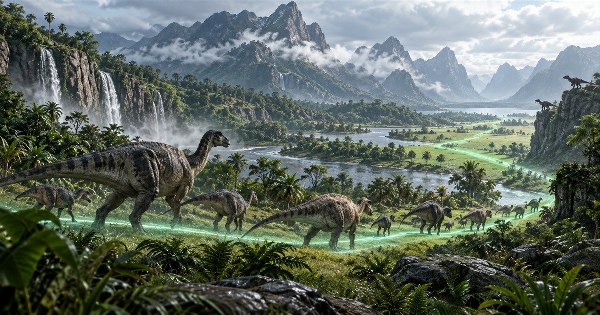
What are migration zones in The Isle?
A The Isle migration zone is a larger objective intended to encourage movement across Gateway. For herbivores, the destination is closely connected to finding the plants needed for diet and survival. That movement also creates opportunities for carnivores, because travelling herbivores and busy feeding areas can attract predators.
The in-game migration indicator is the authority for your dinosaur's current objective. A map layer is a planning reference: it helps you understand where mapped migration areas sit in relation to rivers, lakes, roads, landmarks, mud and difficult terrain. It does not claim that every displayed region is active for every species at the same time.
How to prepare for a migration
- Open the in-game Tab panel and check your current Asset Location coordinates.
- Place your position on the The Isle Gateway map.
- Enable Migration Zones, Drinking Water and the food filters relevant to your dinosaur.
- Compare the direct path with roads, rivers, cliffs and safer cover.
- Choose a route that reaches food without leaving you too far from drinkable water.
The shortest line is not always the safest route. Open plains improve visibility but expose smaller dinosaurs. Dense jungle provides cover but can make orientation difficult. Rivers are useful landmarks, yet crossings may create their own risks.
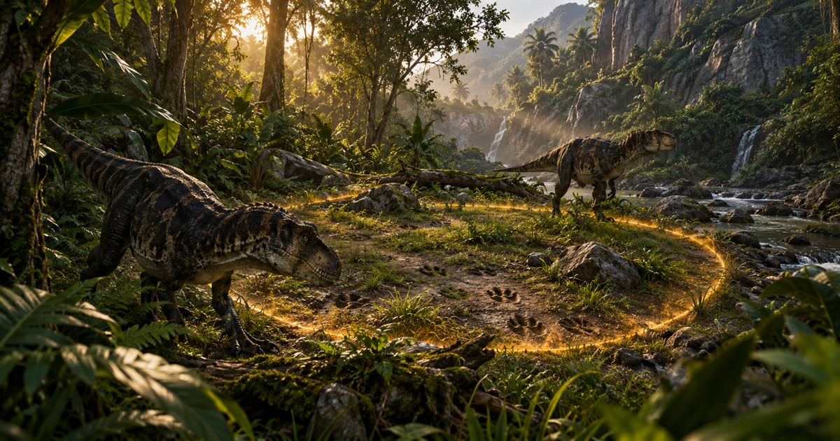
What are patrol zones in The Isle?
A The Isle patrol zone is a tighter objective than a migration zone. Instead of sending you across a large section of Gateway, it concentrates attention around a smaller area. That makes nearby terrain knowledge especially valuable: a creek, ridge, road or tree line can define how you approach and move through the zone.
Patrol objectives can depend on your dinosaur and current game state. Use the objective shown by the game rather than assuming that every mapped patrol area applies to you. The Patrol Zones layer in TheIsleMinimap is there to give the objective geographic context once you know which direction the game is sending you.
How patrol zones change route planning
- Smaller search area: zoom in and use nearby landmarks instead of navigating only by the island's general shape.
- More concentrated encounters: expect other players to have reasons to enter or watch the same area.
- Local resources matter: check water, food and escape terrain around the objective before committing.
- Keep your position fresh: update Asset Location when you open Tab so your marker reflects the latest point in your route.
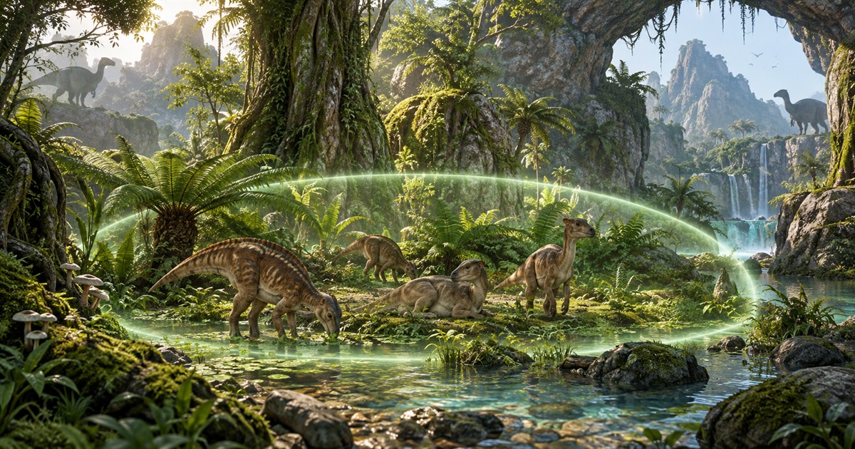
What is a sanctuary in The Isle EVRIMA?
A The Isle sanctuary is a special location designed around juvenile dinosaurs. Its sheltered vegetation and recognizable environment make it an important early-life destination, particularly when a young herbivore needs suitable food before moving on to larger objectives.
“Sanctuary” does not mean complete protection from every player or danger. Stay aware of sounds, scent, visibility and possible approaches. Larger dinosaurs are not meant to remain there indefinitely, so the sanctuary is best understood as an early stage in a longer survival route—not a permanent base.
What should you do after leaving a sanctuary?
Before leaving, check your next objective and build a route around three needs: appropriate food, drinkable water and terrain your dinosaur can cross safely. Turn on the Sanctuary layer to understand your starting point, then compare Migration Zones, Patrol Zones, water and diet-resource filters. This creates a connected plan instead of sending you toward one isolated icon.
How TheIsleMinimap displays Gateway zones
TheIsleMinimap separates Gateway map layers so migration zones, patrol zones and sanctuaries can be switched independently. You can combine them with location labels, drinking water, roads and trails, caves, mud, salt licks, animal markers, plants and other diet resources.
This matters because no single layer explains the whole journey. A migration destination without water may require a detour. A patrol objective near a ridge may need a careful approach. A sanctuary is more useful when you can also see the route toward your next food source.
The app supports the current EVRIMA Gateway map on compatible official and community servers. It uses your own visible Asset Location coordinates; it does not read game memory, identify hidden players or determine which dynamic objective the game assigned to your dinosaur.
Keep your map position current
There are two local ways to update your position. Click the Asset Location coordinates in the in-game Tab panel to copy them, and the app recognizes the valid clipboard value automatically. Or enable optional screen reading and select the visible Asset Location area once. When the panel appears, matching local readings can move your marker without uploading the captured screen content.
Squad plans can also share the latest captured positions with a private squad of up to four players. That makes zone travel easier to coordinate, but it remains a private invited group rather than a public server tracker. Read the The Isle multiplayer squad map guide for the complete workflow.
The Isle Gateway zones FAQ
Are migration zones and patrol zones the same?
No. Migration zones are broader travel objectives, while patrol zones focus activity within a smaller local area.
Are sanctuaries completely safe?
No. They are juvenile-focused locations, but players should still remain alert and prepare to leave as their dinosaur develops.
Does every dinosaur have the same active migration zone?
Do not assume that every displayed map region is active for every dinosaur. Follow the objective shown by your own in-game compass and use the map to understand its location and surroundings.
Can TheIsleMinimap detect my active zone automatically?
No. It maps your captured Asset Location coordinates and provides reference layers. It does not inspect game memory or infer private game state.
Which map layers should I use for a migration?
Start with Migration Zones, Drinking Water and the food resources relevant to your dinosaur. Add roads, location labels and landmarks when you need help maintaining direction.
Does the zone map work on community servers?
Yes, when the server is running the supported EVRIMA Gateway map and coordinate format. No server plugin or administrator access is required.
Use independent zone, water, food and terrain layers alongside your latest Asset Location position.